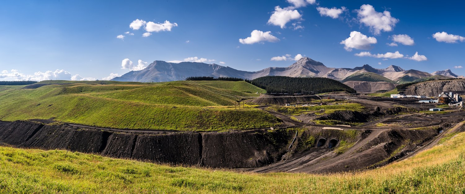
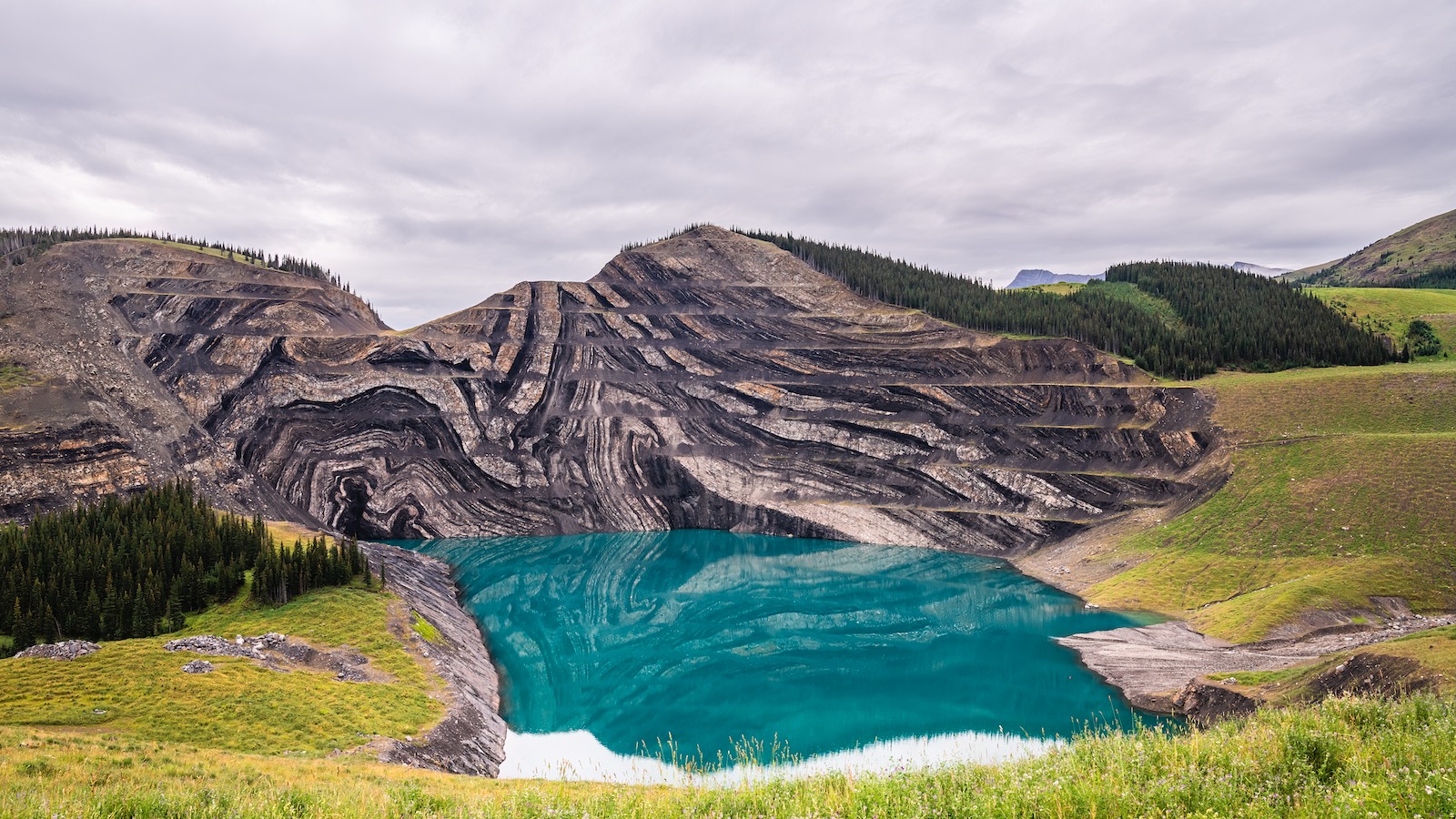
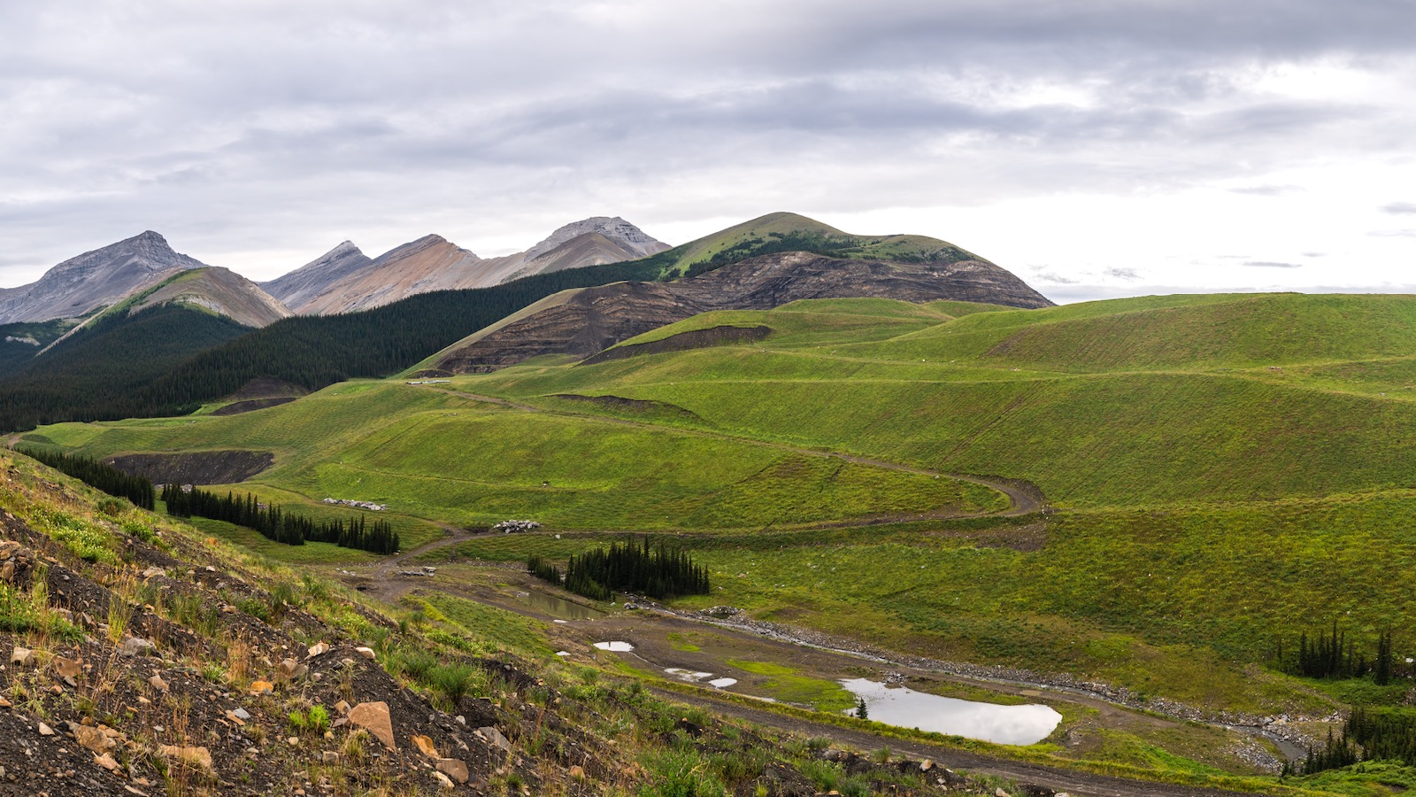
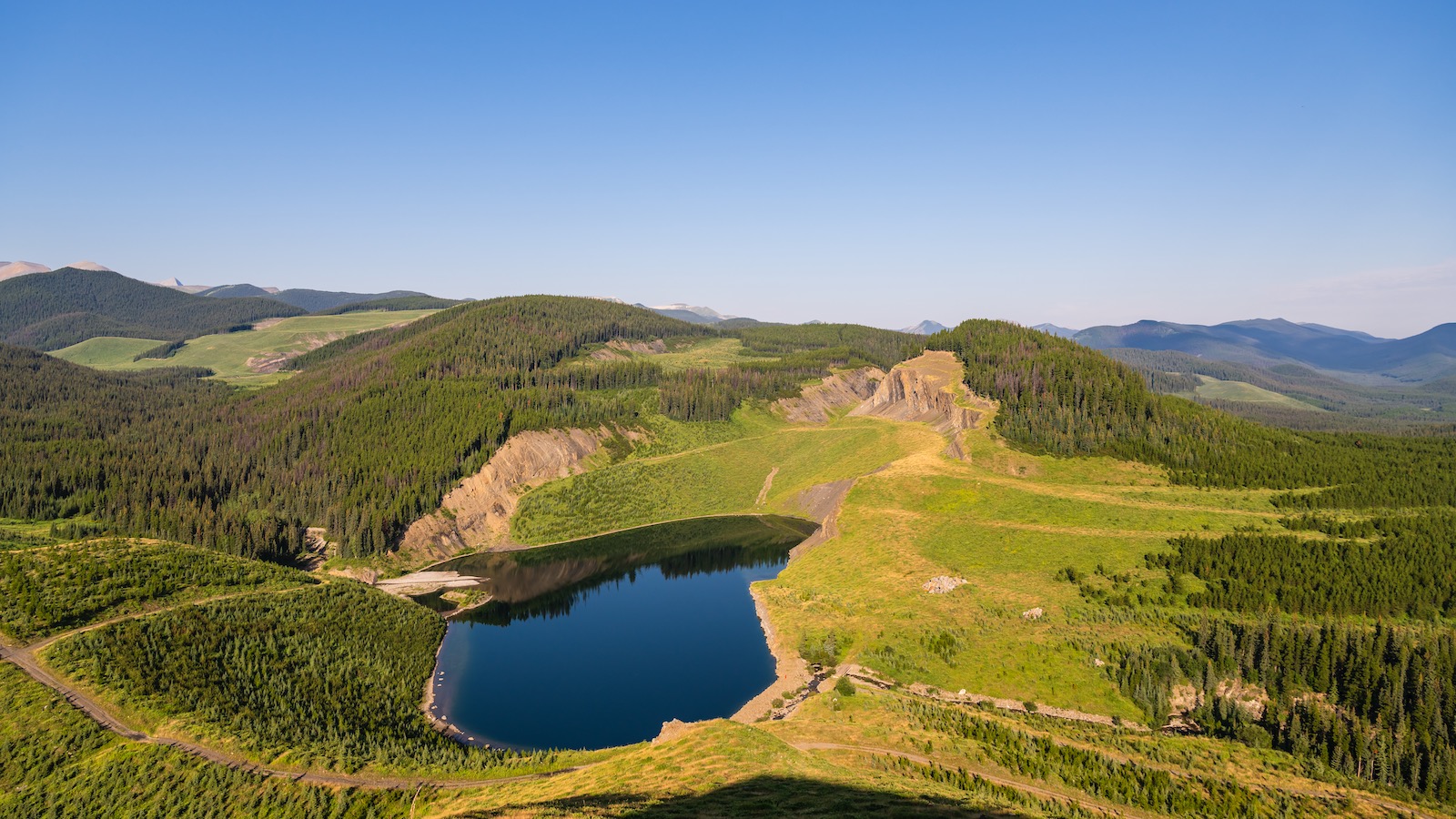
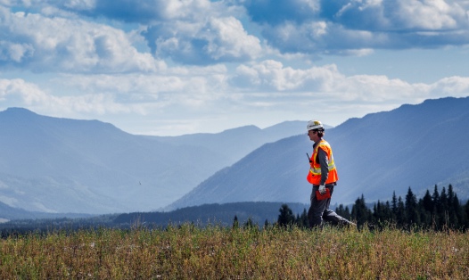
Having reached its end of mine life in June 2020, Cardinal River mine is in Active Closure. This phase of mine life begins when mining has been completed. Active Closure includes decommissioning of site facilities and infrastructure, final land reclamation, and, where required, remediation activities.
Cardinal River mine provides Indigenous communities, local residents, and communities of interest with information on the status of our closure and reclamation activities, including changes to public access. Although Cardinal River mine is no longer in operation, site maintenance and active reclamation and closure activities continue. To ensure public safety, there are Designated Access Trails (DATs) through and around the Mineral Surface Lease (MSL). DATs provide safe access to areas popular with outdoor enthusiasts and are designated for Off Highway Vehicle (OHV) use or non-motorized access (foot or equestrian). Public access maps are available online or can be requested from the Cardinal River mine.
Public access is prohibited in the following areas:
-
All areas outside of the marked DATs; including, but not limited to; the active mine access road, unless otherwise accommodated through designated underpasses and crossings.
-
The dividing berm along the western edge of the Grave Flats Road.
-
Overnight camping, staging, and hunting is prohibited within in the MSL.
Cardinal River mine hosts an annual meeting to discuss changes to public access in and around the mine. For more information about the annual meeting or public access please contact 1-855-806-6854 or email feedbackteckcoal@teck.com.
Access to Drummond Ridge Trail Designated Access Trail: Due to active reclamation activities, Drummond Ridge Trail has been temporarily relocated and will require escort through a portion of the Mineral Surface Lease. Please respect instruction located inside the radio control shack located at the staging area. The staging area is located at the same location as the Cadomin Mountain staging area. Please follow posted signage.
For questions about access to Drummond Ridge please contact the Teck Feedback Line at 1-855-806-6854 or email feedbackteckcoal@teck.com
Access to Powerhouse Creek and Mackenzie Creek Designated Access Trails: Portions of this DAT network are temporarily closed to facilitate reclamation efforts. Please respect all signage located at the Powerhouse Creek staging area. Teck will provide an update on public access as reclamation work is completed. For questions, please contact the Teck feedback line at 1-855-806-6854 or email feedbackteckcoal@teck.com .
Grave Flats Road: A section of the Grave Flats Road, approximately 22 kilometers south of Cadomin, along the Cardinal River, is washed out and is not passable. Grave Flats Road is under the jurisdiction of Yellowhead County. Please direct questions about this road to Yellowhead County.
Mountain Park Town Site Area (West of the McLeod River): The Designated Access Trail off the Grave Flats Road that provides access to the former Mountain Park area west of the river is closed.
Mountain Park Cemetery Area: Public access to the Mountain Park cemetery is not interrupted by closure activities.
Prospect Creek Area: Public access into the southwest tributary of Prospect Creek is restricted.
The Prospect Creek DAT is open. Please note that as a portion of this trail crosses through the active Mineral Surface Lease, it is important that all signage is obeyed, and users stay on the DAT. Prospect Creek is a non-motorized (foot or equestrian) DAT.
Harris Creek Valleys: Closure activities in the Harris and McLeod pits require temporary access closures for safety. These closures have impacted public access into the Harris valleys.
In 2014, a clean water diversion was built. The clean water diversion, as well as other closure activities, has closed the original Designated Access Trails to Cadomin Mountain and the Harris Valley trails.
An alternate route to Cadomin Mountain has been established and this DAT is open. Please note that there are portions of this trail outside the MSL that are extremely steep and this trail should be used with caution.
Mile 12 Cabin Staging Area: An interim staging area at the Mile 12 Cabin has replaced the closed Mountain Park Staging Area. This area is 19km southeast of the historical Mountain Park town site, over the Cardinal Divide. The staging area is clearly marked, and infrastructure includes washrooms and 12 camping sites with fire pits. Due to the washout of the Grave Flats Road, approximately 22 kilometers south of Cadomin and along the Cardinal River, access to Mile 12 Cabin Staging Area is via the Pembina River Road. For updates on Teck, Cardinal River mine and public access please contact Teck by phone at 1-855-806-6854 or by email at feedbackteckcoal@teck.com.
Please refer to the North and South Access Maps for more information on restrictions within the Mineral Surface Lease area. The maps also provide coordinates for the Mineral Surface Lease. There is also a file available for download of the coordinates, intended for handheld GPS units.
Cardinal River Operations North and South Map
Cardinal River Operations Boundary Coordinates Google Earth
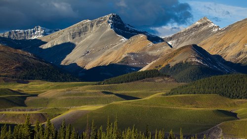
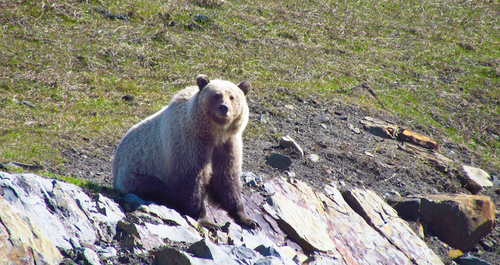
Reclamation at Cardinal River mine will aim to conserve and enhance biodiversity. Disturbed land will be returned to a state of equivalent land capability supporting various end land uses.
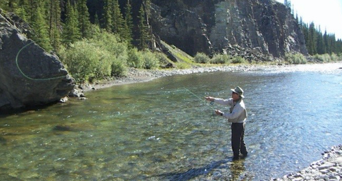
To achieve this, there are five different values for the reclaimed landscape to include: watershed function, fisheries habitat, forest establishment, traditional uses, and recreational uses.
Areas of the mine are planned to be reclaimed as follows: (1) Cheviot Mineral Surface Lease (MSL) (2) Cheviot main access road, (3) Luscar Mineral Surface Lease.
In any given area, earthworks and initial revegetation takes about three years, followed by six to 10 years of monitoring and refinement before reclamation is considered complete by the Alberta Energy Regulator.
A key outcome of the feedback received from regulators from the Cheviot permitting process is the need to use native plant species in reclamation. We have incorporated this approach into reclamation planning for the Cardinal River mine.
Teck remains committed to engaging with Indigenous communities and other communities of interest on the development of ongoing reclamation plans. Teck holds annual community update meetings and will continue to hold these throughout the reclamation process.
Teck is committed to protecting water quality at our Cardinal River mine. During operations, Teck took numerous steps to protect and monitor water quality, and this continues to be a key priority in our closure and reclamation activities.
Teck is currently monitoring water quality at multiple different locations. Teck adheres to multiple regulatory approvals that outline responsible closure activities and Teck submits annual monitoring reports to the Alberta Energy Regulator. These are publicly available on the Alberta Energy Regulator website.
Learn more about our approach to managing water
Alberta Environment and Protected Areas (EPA) is responsible for land management plans. Teck has shared feedback related to land management with EPA and will continue to do so. For questions related to the Luscar and Cheviot land management plans, please contact Alberta Environment and Protected Areas.
